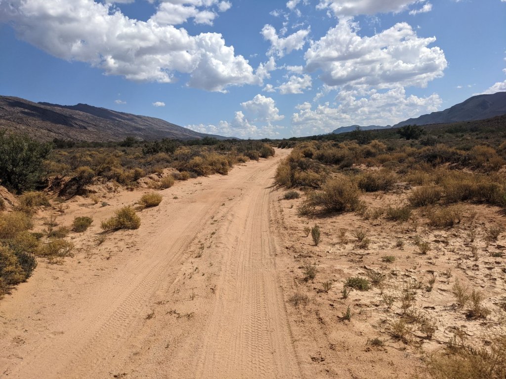
I packed up and started cycling, continuing along the Dragon’s Spine bikepacking route, heading along a smooth gravel road towards the village of Klaarstroom.

I made my way into the village to top up on water, then got back to cycling. The “official” Dragon’s Spine took a circuitous route to avoid some tarmac, whereas I decided to take the shorter, paved route.

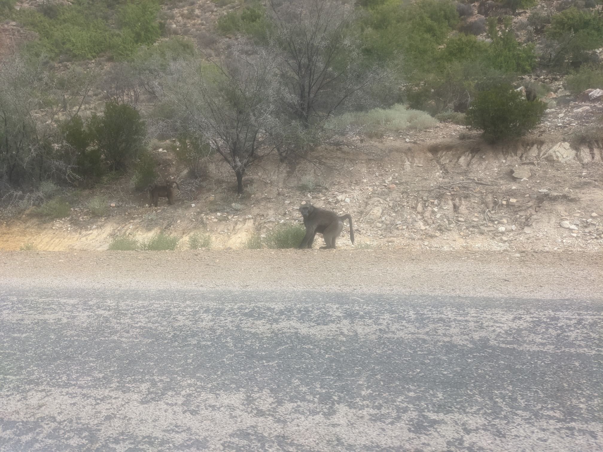
This did mean I had to go slightly out of my way to get to the town of Prince Albert, which I needed to visit in order to stock up on food. There would be no shops over the next 250km of dirt roads, and I wasn’t sure how long it would take me – I knew there would be several hours of pushing the bike. The town was 5km out of the way, but at least I saw some monkeys on the way there.

I wanted to increase my water capacity, so I needed to buy a new bottle as well as replace one of mine that had a leak. And so I rode away from the supermarket with two 2.25L Fanta bottles and a great deal of food including 2.1kg of biscuits and an 800g jar of peanut butter.
I wanted to refill my other bottle but the petrol station – where I’d usually get water – was closed. I asked for and received water at the police station next door instead.
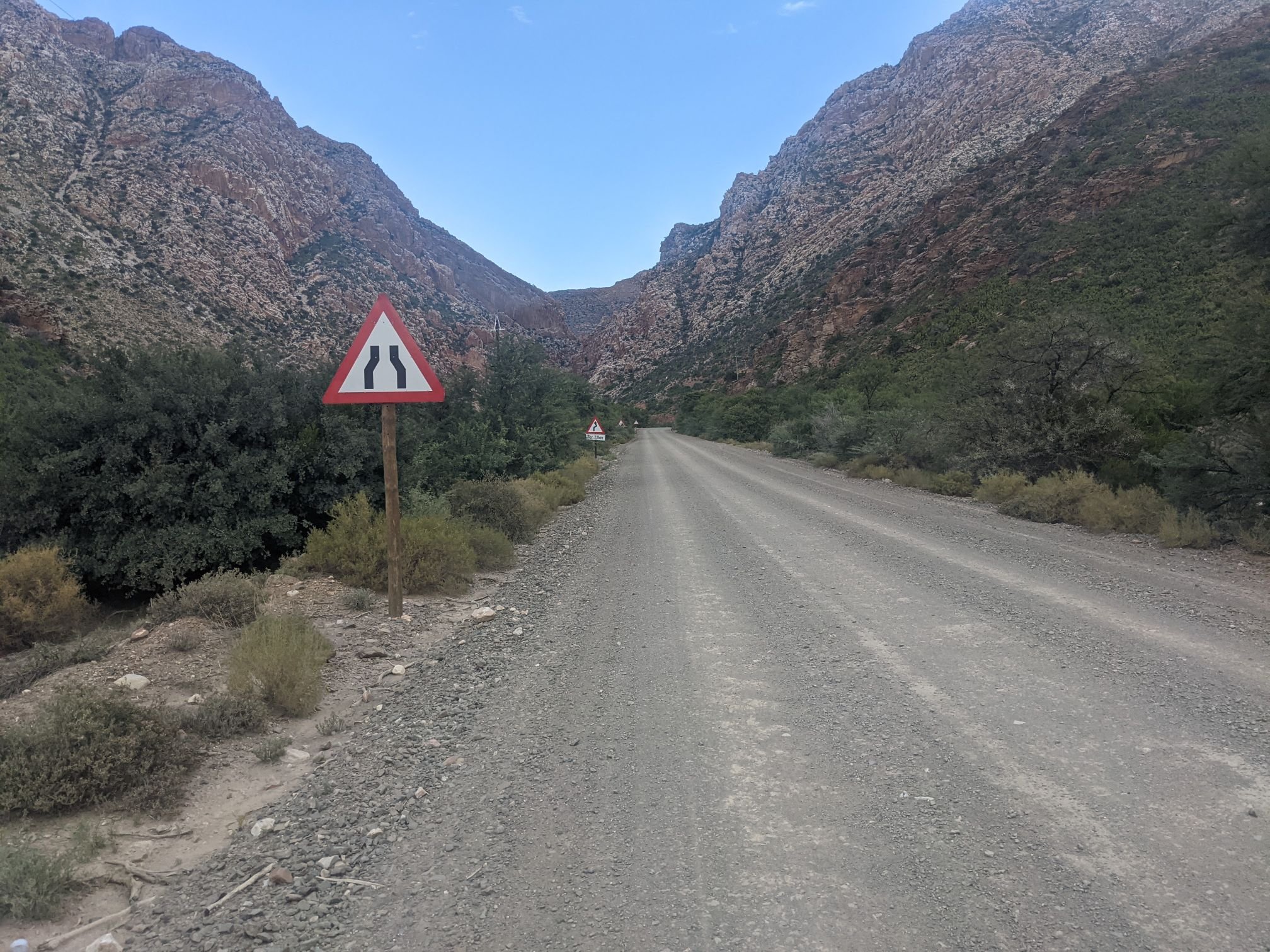
I backtracked the 5 kilometres, and turned off onto a gravel road. Ahead of me I saw a tortoise crossing the road. It was big, about 50cm across – a leopard tortoise, I think.

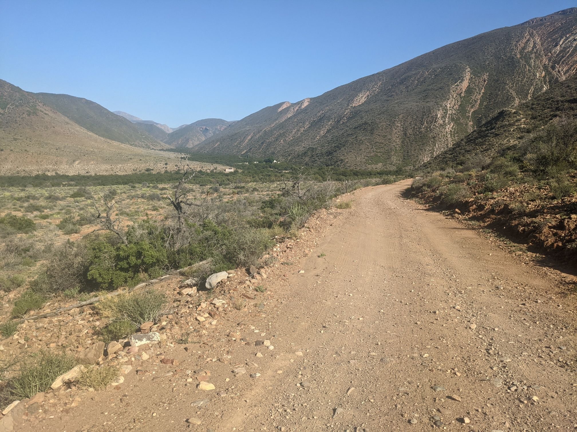
The road climbed, following a river. After a time it entered a narrow canyon.

Over the previous few kilometres I’d seen several cyclists on mountain bikes coming the other way. When I saw one standing by the road, I stopped to chat. Apparently they’re on a three-day supported tour, which they do yearly.
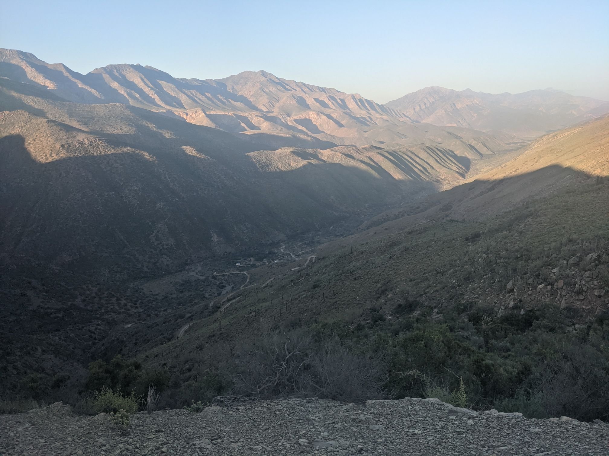
The road began to climb somewhat more steeply, climbing up several hundred of metres along a series of switchbacks.

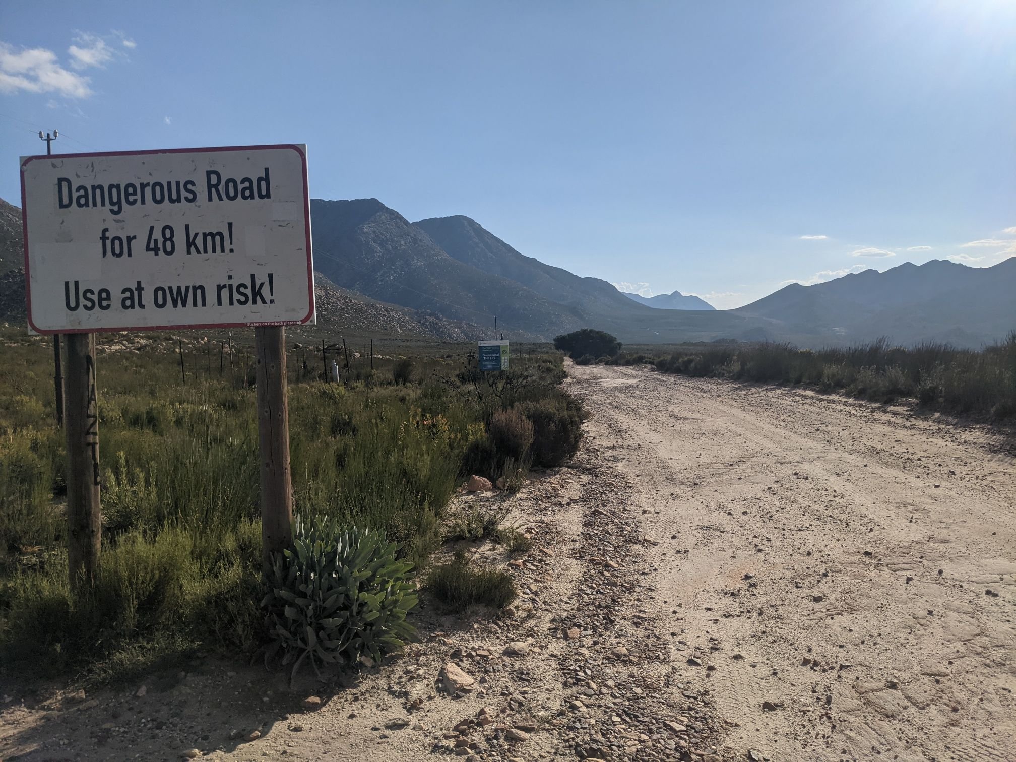
I reached a turnoff for the valley of Gamkasklopt, a remote valley. This road is the only one that goes in, and it’s a dead end road. Oh, and the valley is also known as “The Hell.”

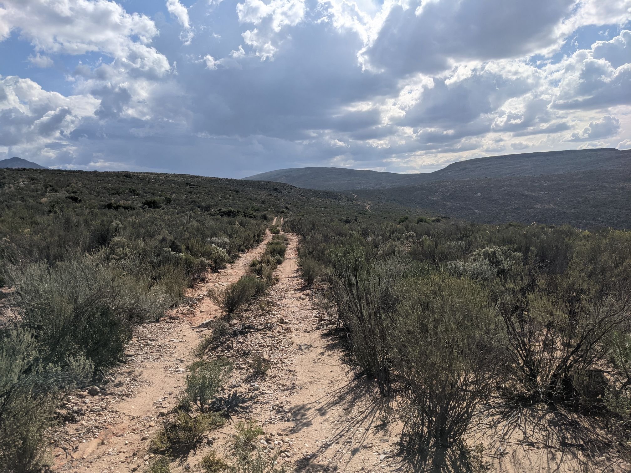
Up and down, up and down, I rode on for another couple of hours without seeing another person. As it got dark, I set up camp in a sandy, dry riverbed – one of the only flat places around.


I made an early start, riding as soon as it was looking light enough to do so. There were some ups and downs before the road settled in to sustained climb. The gradients rarely exceeded 10%, which was a good thing since my chain was starting to skip under high power outputs. I’ll be replacing the whole drivetrain in Cape Town.

Past this climb I had a long, steel downhill. Surprisingly I saw several cars making their way up. In each case they were followed by mountain bikers. It seems this is a popular mountain biking spot for people to spend the long holiday weekend. I got to chatting with a couple of the cyclists. This time they’d driven in the same way they were now riding out, but the year before they came with bikepacking setups and rode through, so they had some useful information about the road ahead.

A few kilometres later I passed the place they’d stayed. A collection of houses originally built by the inhabitants of the valley had been refurbished into holiday homes. This valley was originally settled in the 1800s, and was cut off from the rest of South Africa. The villagers petitioned the government to build a road – the one I’d just ridden on. This turned out to be the death knell for the village. Kids were able to go to schools in the nearby towns, and did not want to return for a difficult life here. With no next generation to pass on the farms to, the owners sold to a conservation group and moved to retirement villages elsewhere.
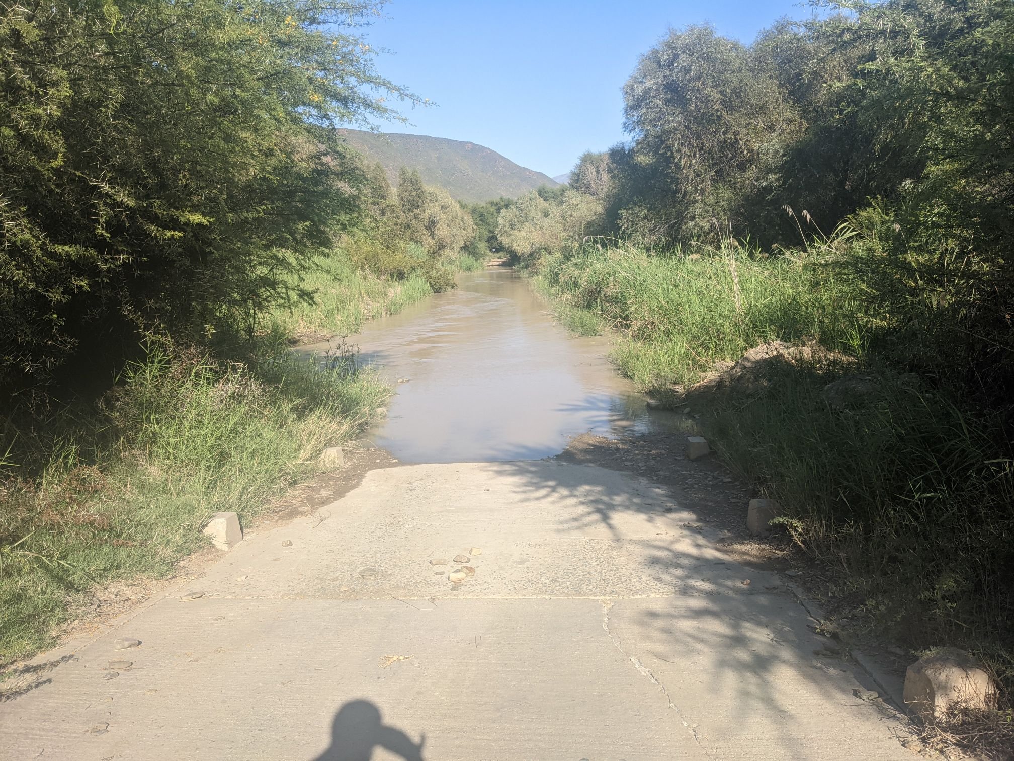
I filled up my water and continued on through the valley. At one point, the road had pretty much been taken over by a river. After some floods, the river burst it’s banks and its new path simply follows the road. It was about knee deep; I moved my electronics from my framebag to a backpack during the crossing.
From the river I climbed up to another pass. The road here was steep and it was hot; I pushed a bit of the way up.

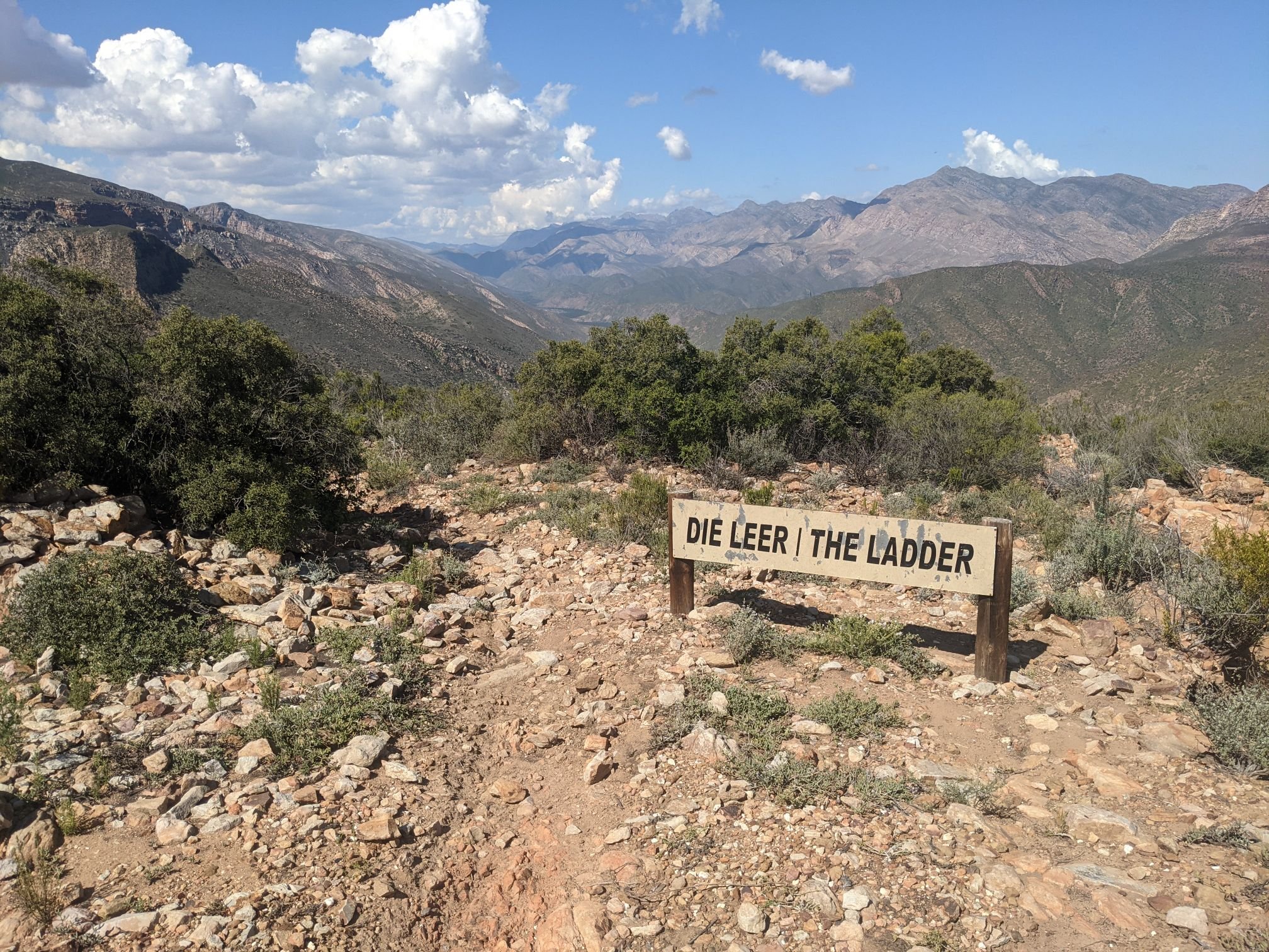
A kilometre or so after the pass I reached the end of the road. The only way out on this side of the valley is through a trail known as “The Ladder.” There was a family holidaying in a house at the end of the road; they kindly filled a water bottle for me. They asked if I knew how to get to the ladder, and pointed out the start point to me. I was surprised to find that I actually needed this pointer; the access was quite overgrown!

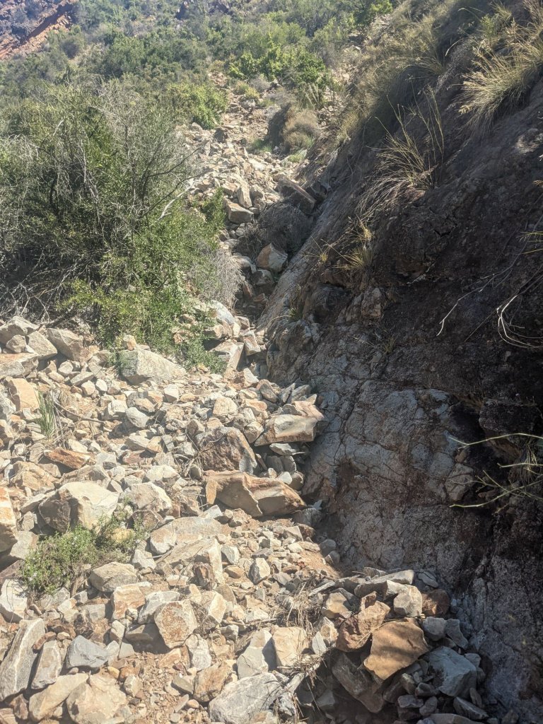
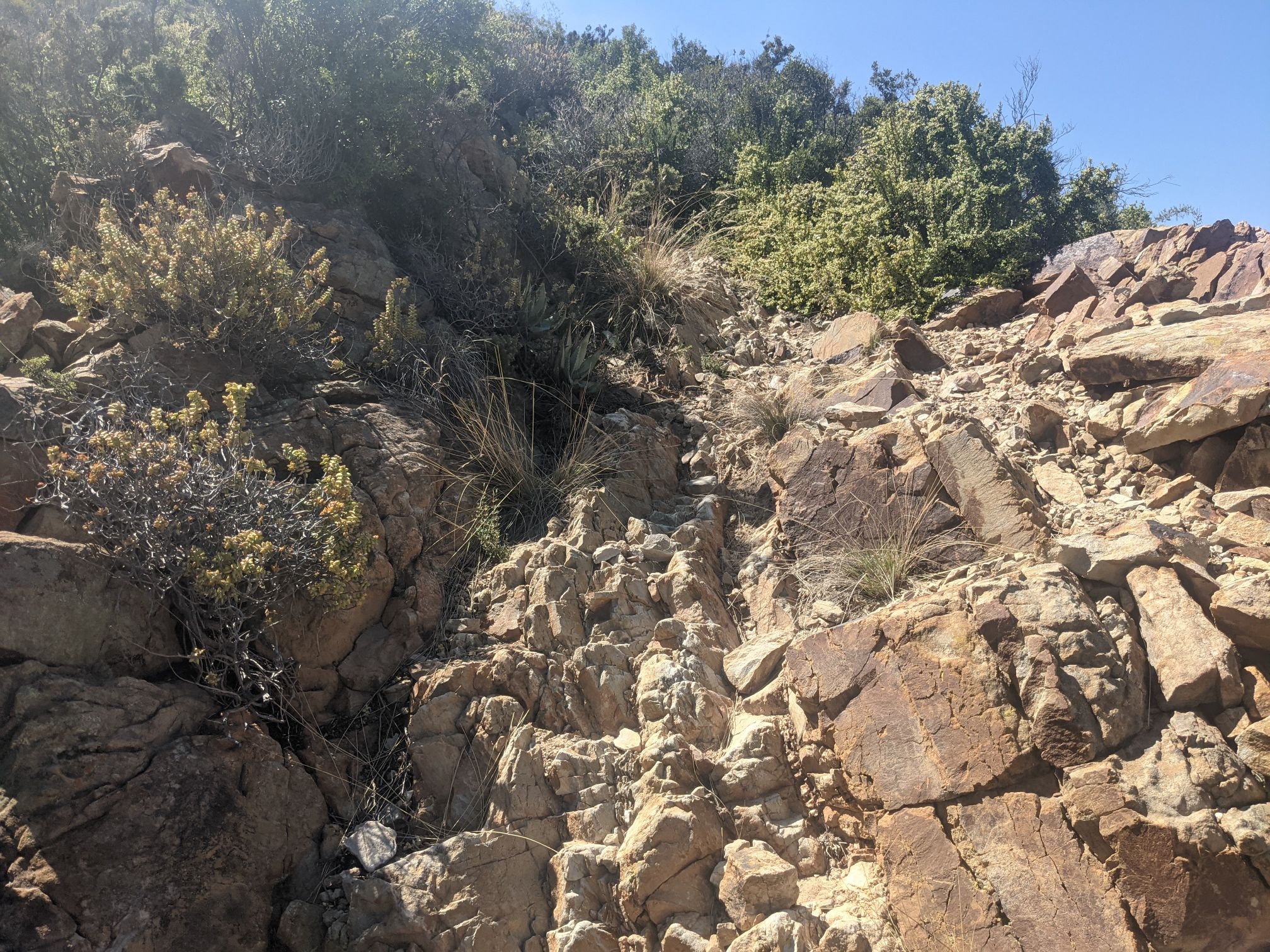
What I knew about the ladder mostly came from Jacob’s blog. He’s a more confident off-road cyclist than me and hates to walk, but he pushed his bike for an hour and a half here. And that was coming down the ladder. So I knew going up would be very difficult – but it turned out to be so much harder than I expected.
After pushing through the overgrowth, I forded a stream and began the climb. It was indeed a climb in quite a literal sense. On foot it would have been a scramble, but with a loaded bike it felt like rock climbing. It wasn’t so much a case of pushing as it was dragging, lifting and carrying.
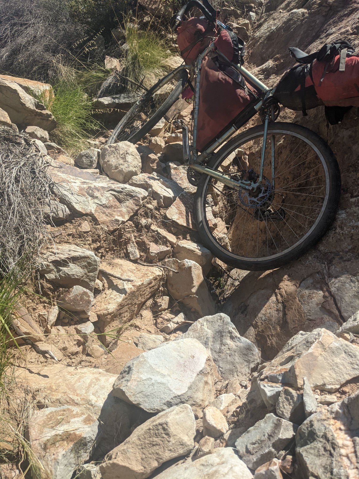
Having toured for so long, my legs are in decent shape and so the cycling rarely feels difficult. Here, though, I needed upper body strength. Cycling doesn’t do much for that! At one point, as I was pushing the bike up to a ledge, with my arms stretched almost verticality above my head, I think I strained a muscle in my pecs. My chest hurt a bit the rest of the way which didn’t make things any easier!
At one point, when I went to lift the bike, I grabbed it from too far bike and accidentally flipped it right up onto the handlebars. Quite a lot of water came pouring out from my headset, which was a bit of a surprise. I suppose it got into the frame via the bottom bracket during the earlier river crossing.

I slowly continued my way up the aptly named Ladder. At one point I went what turned out to be the wrong way – only for a few metres, but it was quite difficult to turn around. There was only a narrow path between the cliff leading up and the cliff leading down. I managed to turn the bike by lifting it vertically and spinning it on the rear wheel.


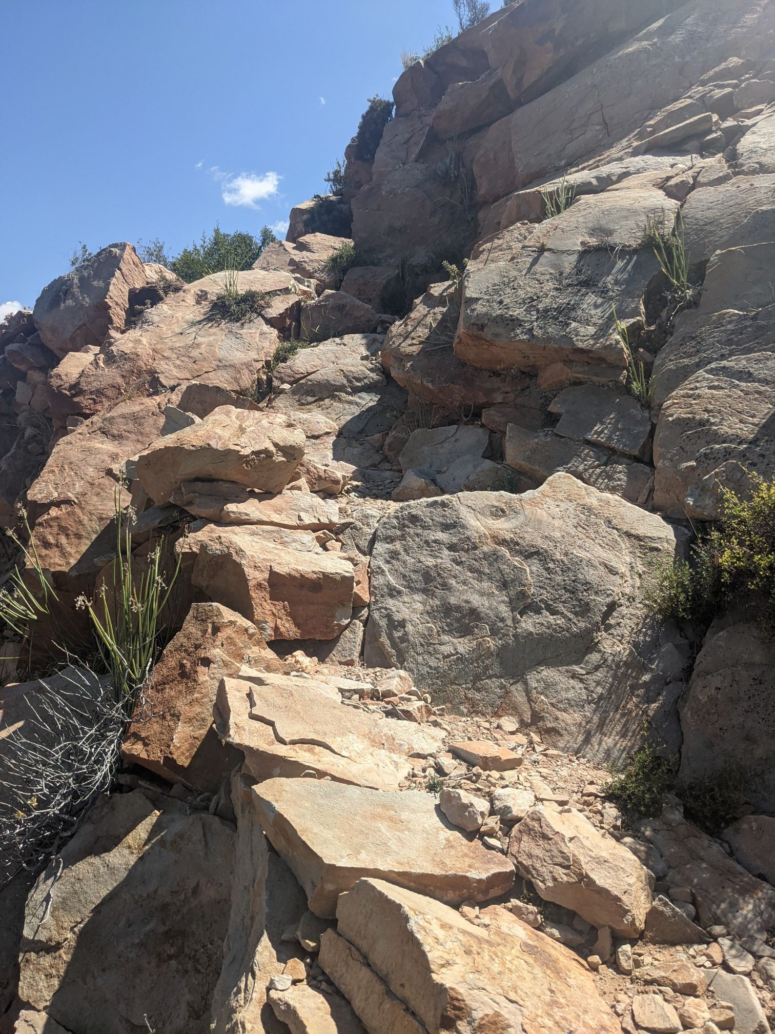
It took more than 3 hours to reach the end of the ladder, by which point I was pretty well exhausted! Not to mention sporting a few cuts and bruises.
I continued to push past the end of the ladder. Here the surface was what I’d expected the ladder to be: steep and very rocky, but walkable.
The rough track continued for 10km or so, climbing up to a pass and then dropping back down. There were three gates along the way. The first was locked, so I had to lift the bike over. My arms were so tired it took me two attempts. The next was unlocked and the third had no fence next to it, so I just rode past it.
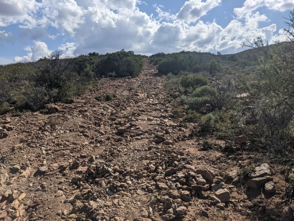
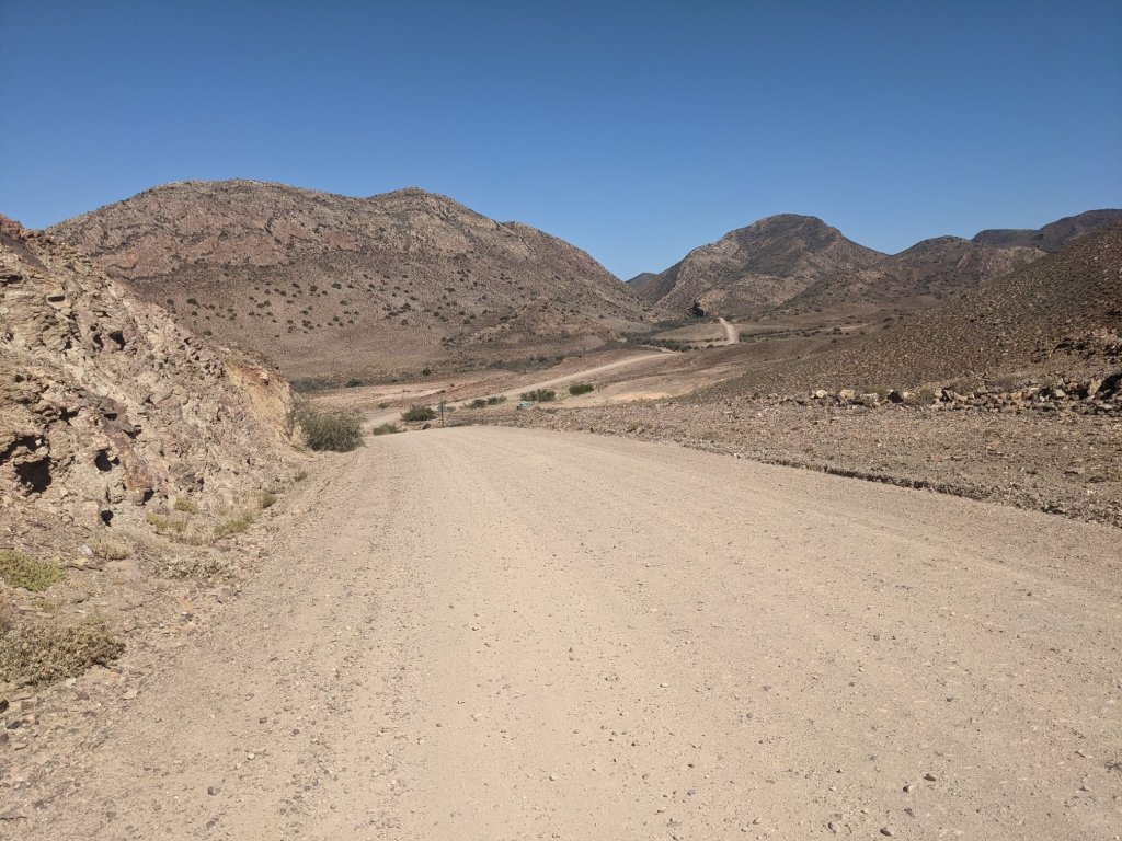
Past this third gate was a junction where I joined a road. Some people earlier had suggested it wasn’t until the next junction, 5km further on, that the road improved. I was glad to find this wasn’t the case and I could now ride quickly along smooth gravel.

There was one more gate to pass through. Thankfully it was unlocked because I don’t know how I’d have got over this one!
I rode on for another hour or so, until shortly before sunset. There was a campsite a couple kilometres away from the road. I usually don’t like to go out of the way for a campsite, but after a week of wild camping I was very much overdue for a shower and laundry.
I returned to the road and cycled along the valley. Compared to the day before this stretch was more populated, with some farms and orchards around.
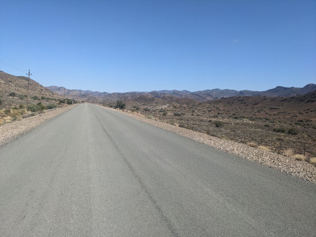
There were a few kilometres of tarmac at one point, but soon enough I turned back onto the dirt and rode along rolling hills through empty countryside.
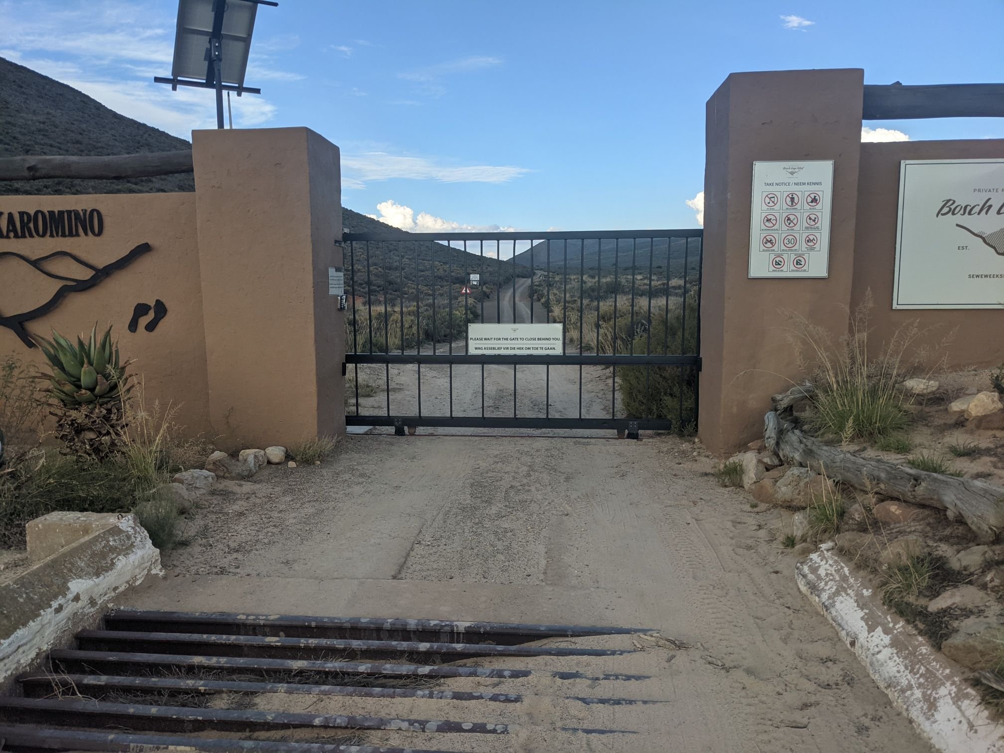
After a time I took a turning into Anysberg Nature Reserve. There was a sliding gate, which was unlocked. The road was now somewhat rougher, sometimes rough rocks and sometimes corrugated sand. I roughly followed the course of a currently dry river, where there was a bit more greenery and some monkeys.

There was a campsite in the centre of the reserve. It was early in the afternoon so I didn’t stay there, but did take a short break and refilled my water bottles from a tap.
A little while later a strong wind picked up, coming from the south. Shortly after that, I turned south – of course. The road climbed, gradually at first. Another sliding gate led out of the reserve.

The fences resumed as the gradient increased and I slowly rode upwards. As I was looking for somewhere to camp, I crossed a dry riverbed. A tree – more of a large bush, really – had fallen on to the fence, so I was able to step over it and go set up camp.
Mar 19: 131 km
Mar 20: 61 km
Mar 21: 127 km

The ladder sounds absolutely exhausting. Riding along flat roads must seem like a doddle in comparison. I’m really enjoying your posts Sam!
LikeLike
Thanks Janet! Yeah, the ladder was tough – but it’s nice to have a bit of a challenge.
LikeLike
Wonderful landscape pictures! – I try to follow your path with the finger on the map and hope I can follow it also in reality soon. One trivial question: If you go shopping, e.g. in Prince Albert, what do you do with the bike? Ask someone to look out for it?
LikeLike
I have a light cable lock. If it’s a big, busy supermarket and/or there are suspicious-seeming people around, I lock the bike. Its usually possible to find a metal post of some sort nearby.
LikeLike
hey mate, hows it going? thinking of riding the dragons spine next year, you got an email or twitter? would love to ask you some questions
LikeLike
hey man hows it going? thinking of riding the dragons spine next year, you got an email or twitter? would love to ask you some questions
LikeLike
Hey. Feel free to send any questions to samuelburchell@gmail.com, I’ll be happy to answer.
Sam
LikeLike